Le patrimoine culturel de l’Etang Saint-Paul
Les sites culturels majeurs de la Réserve Naturelle
Le Tour des Roches
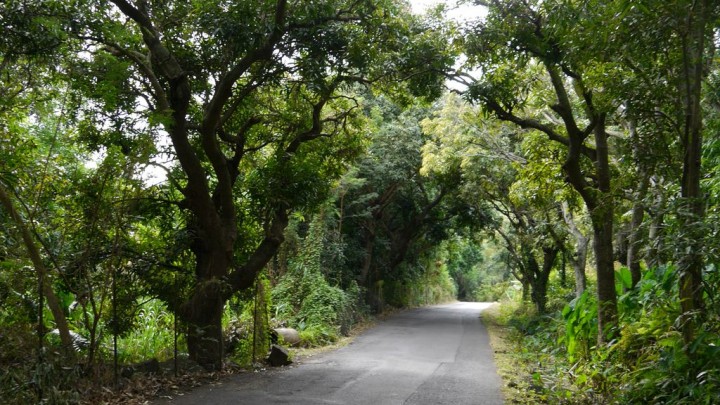
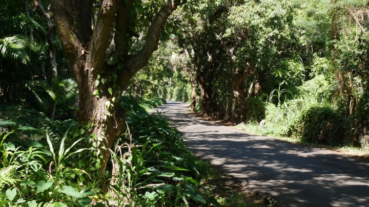
Colonne vertébrale de plus de 7 kilomètres, le tour des Roches est le premier chemin reliant les habitations du Vieux Saint-Paul (au lieu dit actuellement Bassin Vital) à centre-ville actuel de Saint-Paul (les Sables de Saint-Paul). Il ne reste rien des anciennes paillotes et maisons en bois de cette époque. Aujourd’hui l’urbanisation grandit notamment au sud et au nord de l’étang, avec les quartiers de Bouillon et de Grande Fontaine, d’une part, et de Savanna de l’autre. L’essentiel du chemin du Tour des Roches reste néanmoins rurale et peu aménagé. Le parcours au pied des cocotiers et manguiers, entre falaises et étang, laisse imaginer la vie passée.
Cliquez ici pour voir l'itinéraire.
Photos
Le Pont et le chemin des anglais
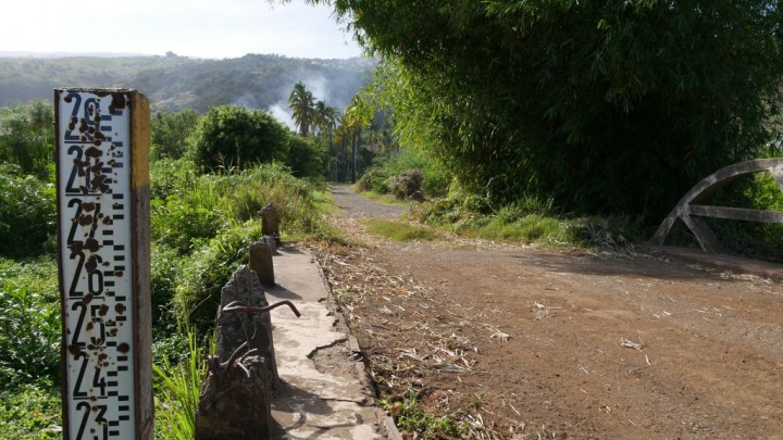
Le chemin des Anglais, dont il ne reste aujourd’hui que le pont, existait déjà sous cette dénomination sur le carte de Le Chandellier (1806). Constituant une voie de liaison entre l’actuelle Chaussée Royale et le Tour des Roches, cet axe a disparu avec la construction de la route digue. Son nom serait dû à la propriété d’un flibustier anglais repenti, Thomas Elguier. Aujourd'hui, il ne reste que le pilier et les deux culées maçonnées en pierre de taille du pont qui traverse le Bras Saint-Paul.
Cliquez ici pour voir l'itinéraire.
Photos
Le site du Moulin à eau
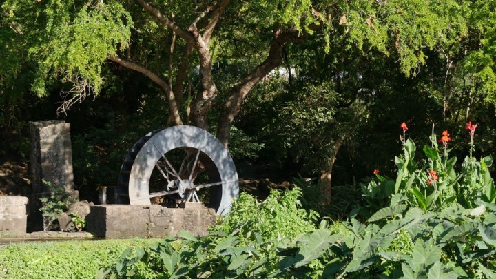
Sur le Tour des Roches, à proximité du quartier de Laperrière et installé au pied d’une source d’eau saumâtre et construit vers 1860-70, le moulin à eau a d’abord servi de distillerie, puis de minoterie pour la fabrication de diverses farines ( blé, riz, maïs, manioc) et enfin de pompe à eau pour irriguer les cultures situées dans le quartier de Laperrière. De cet ensemble proto-industriel, il demeure une grande roue métallique, quelques murets en pierres (entrepôts) et une colonne de pierre. Aujourd’hui ce site est devenu une aire de loisirs très appréciée des Réunionnais et des touristes.
Cliquez ici pour voir l'itinéraire.
Photos
Bassin Vital ou le Vieux Saint-Paul
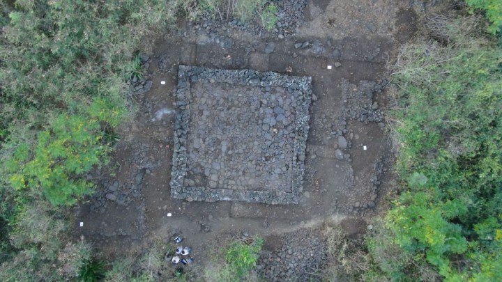
En 1665, Etienne Regnault, premier gouverneur de l’île, accompagné d’une vingtaine d’hommes décident d’installer leur habitation au pied des falaises entre les ravines Jardin, Bassin, Tête Dure et Laforge et à quelques encablures des berges de l’Etang et donnent naissance au Vieux Saint-Paul. Dès lors, défrichement et mise en culture des terres débutent et les premières bâtisses sommaires, enclos et lieu de culte sont construits le long du Tour des Roches. De ces premières constructions rien ne subsistent. En 2015, des fouilles archéologiques ont été réalisées et ont permis de découvrir une importante structure carrée, des terrasses ainsi que des petits objets métalliques.
Cliquez ici pour voir l'itinéraire.
Photos
Grande Maison de Savanna
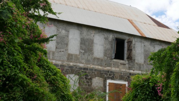
Construite dans la deuxième moitié du XVIIIème siècle, la Grande Maison de Savanna, dit Château de Savanna, fait partie de l’important domaine sucrier du même nom. Ayant pour première fonction, celui d’hôpital, puis de lazaret, il devient au début du XIXème siècle, la maison de maître du Domaine sucrier de Savanna. Ayant appartenu à de grands propriétaires terriens tels que les Lemarchand, Hoarau de La Source et Laroche, la Grande Maison devient la propriété des sucreries de Bourbon en 1948.
Imposant parallépipède de 27 mètres de long et de 12 mètres de large, la Grande maison se compose d’un rez-de-chaussée construit en pierre de taille et percé d’une porte et de six fenêtres à linteaux cintrée. Séparé du rez-de-chaussée par un bandeau mouluré fait de briques et moellons, l’étage préserve qu’une seule fenêtre. Les autres ont été obstruées. La toiture autrefois composée d’une charpente en bois et de bardeaux, a été remplacée par une charpente et un couvrement métallique.
Le jardin et de verger attenant à l’édifice ont disparu. Seuls les viviers, revenus à l’état sauvage, ainsi que les allées de cocotiers, sont les témoins naturels de cette luxueuse demeure.
La Grande Maison est inscrite au titre des Monuments historiques depuis 1998 et appartient à la ville de Saint-Paul.
Cliquez ici pour voir l'itinéraire.
Photos
Le Pont CFR
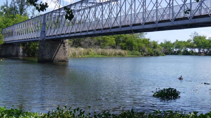
Réalisé en 1881 par la Compagnie de Chemin de Fer de La Réunion (CFR), le pont métallique est le dernier ouvrage d’art du chemin de fer de la commune de Saint-Paul, qui comptait huit stations. D’une seule portée métallique de 100 mètres, cet ouvrage est une réelle performance technique pour les ingénieurs de l’époque. Désaffecté en 1956 et restauré en 1990 et il permet de relier deux quartiers celui de Jacquot et de l’Etang.
Cliquez ici pour voir l'itinéraire.
Photos
La Ravine Bernica et ses alentours
Le site est l’un des plus pittoresques de La Réunion. Leconte de Lisle l’a rendu célèbre en consacrant de très belles strophes à ce « lieu sauvage, au rêve hospitalier » où l’âme « se sent oiseau, fleur, eau vive et lumière ». Proche du lieu d’arrivée des voyageurs, elle illustre bien la beauté sauvage de l’île, au bord des routes et aux confins de la ville. La Ravine Bernica est devenu le 26 avril 1996 Monument naturel lors de son classement au titre de la loi de 1930.
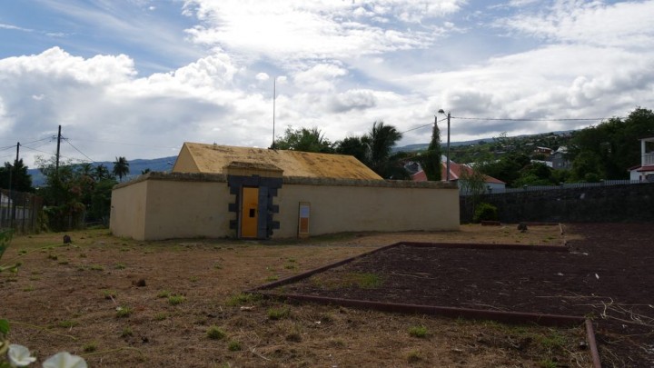
En direction du Nord, se trouve une multitude de sources alimentant l’étang. C’est près de celles-ci que le village de la Grande Fontaine s’est établi. La présence d’une poudrière rappelle que la vie ne fut pas toujours pacifique. Elle faisait partie de tout un ensemble d’équipements militaires construits à la Grande Fontaine au début du XVIIIème siècle et faisant de ce quartier le premier quartier militaire de l’île. Datée de 1724, la poudrière est donc le doyen de tous les bâtiments de La Réunion. Le bâtiment est étroitement lié au pont de la Grande Fontaine : sans ce pont (dont les travaux ont débuté en 1719, ce qui en fait la construction la plus ancienne de l’île), la poudrière n’aurait pas pu être construite là où elle est. Sous le pont lui-même, se trouve un antique lavoir, certainement plus ancien que le grand lavoir que tout le monde connaît puisqu’il est situé juste sur le bord de l’entrée du Tour des Roches. Plus précisément, les plus anciennes pierres à laver se trouvent entre deux piles du pont.
Cliquez ici pour voir l'itinéraire.
Photos
